Originally from Quebec, my family moved to Whitehorse, Yukon when I was eight. Growing up in the North gave me an early appreciation for the outdoors and environmental issues, eventually leading me to a BSc in Natural Resources Conservation at UBC. It was there that I discovered GIS, a field that immediately resonated with my love of technical problem-solving and big-picture thinking. I was fortunate to gain hands-on experience at UBC's Integrated Remote Sensing Studio, supporting graduate research with remote sensing and GIS analysis.
After graduation, I worked for the Yukon Government as a GIS technician on the Ecological Landscape Classification program, combining summer fieldwork with ecological map production.
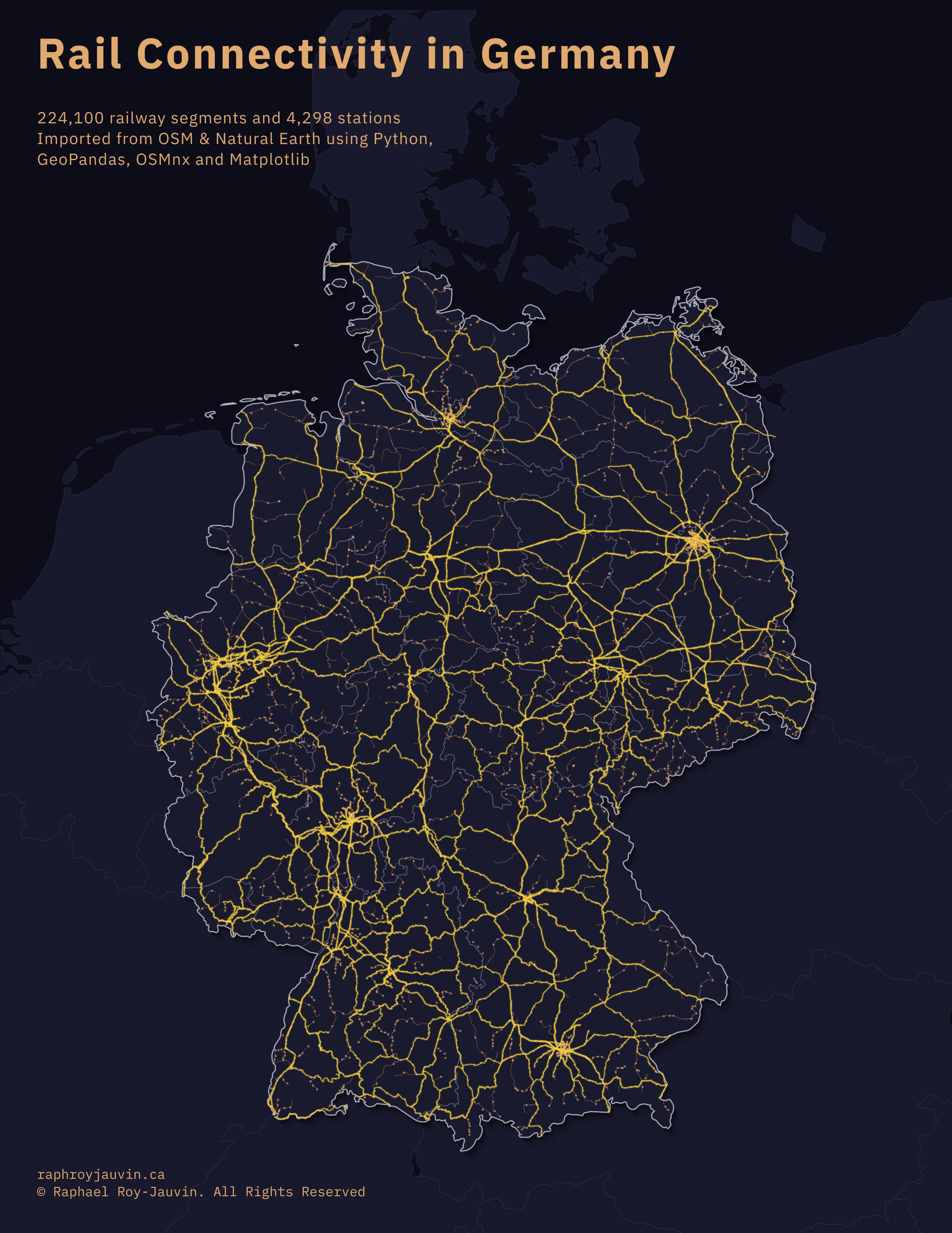
Wanting to experience life abroad, I then moved to Munich, Germany, where I worked as a GIS planner for MRK Media AG, supporting the rollout of fiber-optic infrastructure across southern Germany.
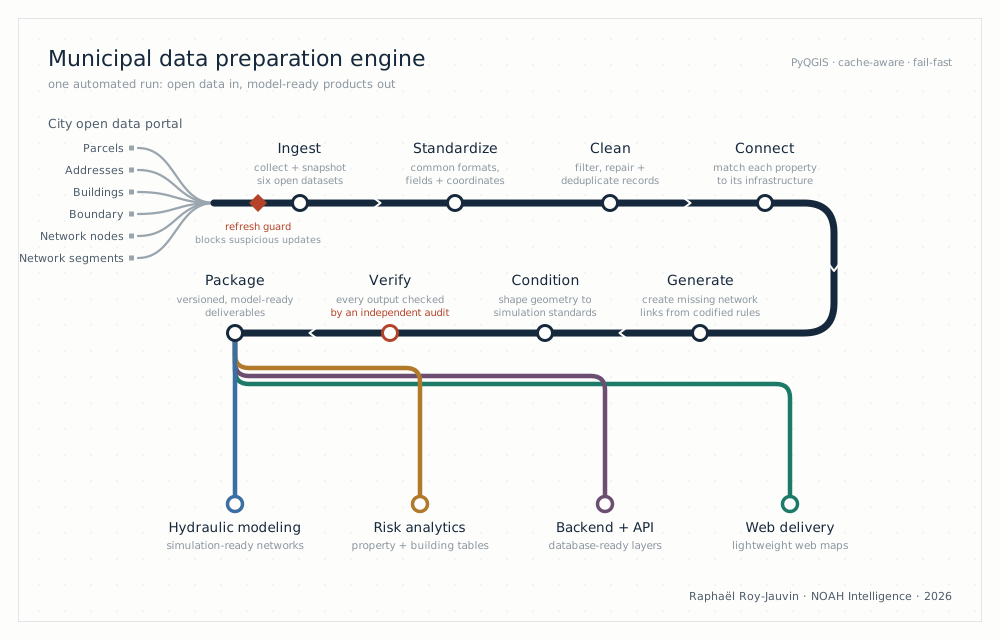
Back in Canada, and wanting a change of pace, I spent some time in emergency services with BC Emergency Health Services, where I saw firsthand how infrastructure and environmental risk shape people's lives. When it was time to return to geospatial work full-time, I sharpened my skills through BCIT's advanced certificate in GIS and joined NOAH Intelligence, where I build the geospatial data pipelines behind property-level flood risk models. Today I am based out of Montréal, where I'm completing McGill's Master of Urban Planning, pointing that technical foundation at broader questions of how cities grow and move. I couldn't be more excited about what's ahead.